Iowa Crop Progress and Condition Report — Week of Sept. 1, 2025

Released by the USDA National Agricultural Statistics Service
Iowa Secretary of Agriculture Mike Naig commented on the Iowa Crop Progress and Condition Report released by the USDA National Agricultural Statistics Service. The report is released weekly April through November. Additionally, the Iowa Department of Agriculture and Land Stewardship provides a weather summary each week during this time.
“Iowans enjoyed a gorgeous holiday weekend to wrap up August, with cool and mostly dry weather that was ideal for spending time outdoors,” Secretary Naig said. “As we start September, many farmers will be busy chopping silage and baling hay, while others are beginning to gear up for harvest. Now is also a great time to plan for seeding cover crops and adding other conservation practices to fields after harvest.”
The weekly report is also available on the USDA’s website at nass.usda.gov.
Crop report
With only spotty precipitation, Iowa farmers had 6.3 days suitable for fieldwork during the week ending August 31, 2025, according to the USDA, National Agricultural Statistics Service. Field activities included cutting and baling hay.
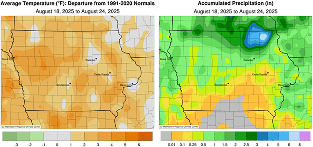
Topsoil moisture condition rated 1 percent very short, 9 percent short, 78 percent adequate and 12 percent surplus. Subsoil moisture condition rated 1 percent very short, 7 percent short, 79 percent adequate and 13 percent surplus.
Corn in the dough stage or beyond reached 92 percent this week. Sixty-three percent of the corn crop reached the dent stage or beyond, 2 days ahead of last year, but 2 days behind the five-year average. Nine percent of corn has matured. Corn condition rated 1 percent very poor, 2 percent poor, 13 percent fair, 58 percent good and 26 percent excellent. Soybeans setting pods reached 95 percent. Soybeans coloring or beyond reached 19 percent, 1 day ahead of last year, but 1 day behind average. There were scattered reports of soybeans dropping leaves. Soybean condition rated 1 percent very poor, 3 percent poor, 19 percent fair, 58 percent good and 19 percent excellent. Oat harvest was virtually complete.
The third cutting of alfalfa hay reached 87 percent complete. Pasture condition rated 72 percent good to excellent.
Weather summary
Provided by Justin Glisan, Ph.D., State Climatologist, Iowa Department of Agriculture and Land Stewardship
Iowa experienced cooler and drier weather during the last week of August and of meteorological summer. Small pockets of eastern, central and northwestern Iowa observed slightly above-average rainfall. The coolest conditions occurred in southwest Iowa, where temperatures were six to eight degrees below the climatological average. The statewide average temperature was 65.0 degrees, 6.2 degrees below normal.
Sunday (24th) afternoon remained mostly sunny with gusty northwesterly winds and daytime temperatures in the upper 60s to low 70s. Winds diminished into Monday (25th) morning, shifting to a more westerly direction as lows dropped into the 40s across much of the state. Afternoon conditions were similar to the previous day, with slightly more cloud cover. Starry skies persisted overnight into Tuesday (26th) as winds became light and variable, with morning lows in the 40s. Clouds increased across portions of the state through the afternoon and evening hours, becoming more widespread after sunset. Light rain showers developed during the early morning hours of Wednesday (27th) and continued from north-central to eastern Iowa throughout the day. Much of the state’s northeastern half received measurable rainfall, though all but three stations recorded less than 0.50 inch. Swea City (Kossuth County) collected 0.57 inch, while Lansing (Allamakee County) registered 0.93 inch. Daytime temperatures approached 80 degrees in western Iowa, while conditions were 10 to 15 degrees cooler under cloud cover farther east.
Thursday (28th) dawned with morning lows in the 50s accompanied by patchy fog and clouds. Very isolated showers developed in eastern Iowa, again producing light totals at stations reporting rainfall; Oelwein Municipal Airport (Fayette County) observed 0.20 inch, while 0.62 inch was measured in Lowden (Cedar County). Afternoon temperatures were pleasant, ranging from the upper 70s in northern Iowa to the low 80s in the south. Foggy conditions were reported in eastern Iowa early on Friday (29th), with light easterly winds and temperatures in the upper 50s. A nearly stationary surface boundary draped northwest to southeast aided shower formation through the afternoon and evening hours, with some cells producing persistent rainfall over the same locations. Four stations reported an inch or more, including 4.07 inches in Hopkinton (Delaware County). Additional showers and thunderstorms developed along a narrow line on the existing boundary on Saturday (30th) from central to northwestern Iowa. Several stations reported higher totals, ranging from 0.74 inch in Westfield (Plymouth County) to 2.06 inches in Ames (Story County). A more concentrated shield of rain entered southwest Iowa on Sunday (31st) morning, producing widespread totals of 0.10 to 0.20 inch.
Weekly precipitation totals ranged from no accumulation at western and southern stations to 4.19 inches in Hopkinton. The statewide weekly average precipitation was 0.19 inch, while the climatological normal is 0.88 inch. Iowa Falls (Hardin County) reported the week’s highest temperature of 88 degrees on the 29th, nine degrees above normal. Several stations reported the week’s lowest temperature of 40 degrees on the 25th and 26th, which was on average 17 degrees below normal.